Marion BROQUERE
Co-founder
Holder of a Masters’ Degree on management of coastline and sea, she is specialized in management of protected areas.
Planning / management of protected areas; photography; development and project monitoring
Simon NANCY
Co-founder
Geographer, he is specialized in management of coastline and insular regions.
Cartography; photography; graphical illustration; project management and monitoring
Approach
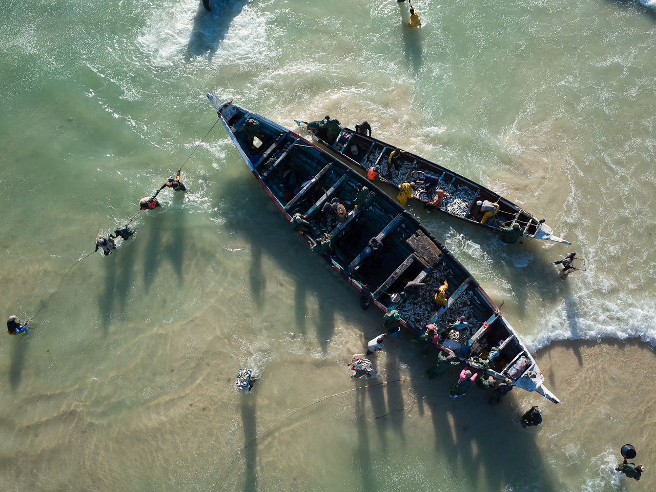
Aerial pictures are valuable tools to analyse and monitor territories. Nevertheless, these images are scarce and expensive, above all when it comes to targeted views in time and space. We became aware of the necessity of aerial pictures when we were working on management of protected areas in Mauritania. So, in 2008, we experimented the use of kite aerial photography for the first time. We began to build our experience with applications for the monitoring of species and habitat and with pictures for territories’ communications.
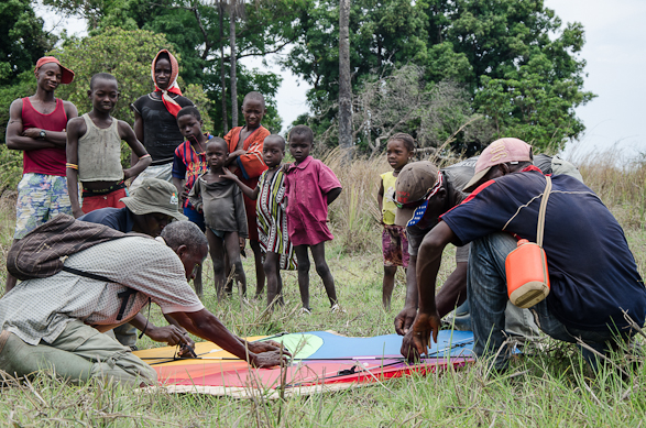
We quickly realized that the most interesting pictures were not only the ones providing scientific datas or beautiful pictures, but also the ones helpful to understand the territory and to read the landscape. These pictures introduce the discussion on the evolution and management of the territory. The kite aerial photography (KAP) technique, because it is friendly and simple, seems to be an interesting tool in a perspective of sharing management. Inviting to discuss about the territorial issues and to share knowledges. This new field of application got us to improve our expertise with new abilities related with territorial dialogue ( strategic environmental analysis, participative cartography, shared territorial diagnostic, territorial prospective…). Since 2017, we use UAV too. UAV and KAP are highly complementary.
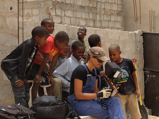
en Haut ! has been working to develop activities in protected areas but also in rural and urban areas in west Africa (Mauritania, Senegal, Guinea Conakry, Guinea Bissau, Cape-Verde), in France and elsewhere in the near future.
Our fields of intervention:
• Environmental topics
• Protected areas
• Territories vulnerability
• Coastal management
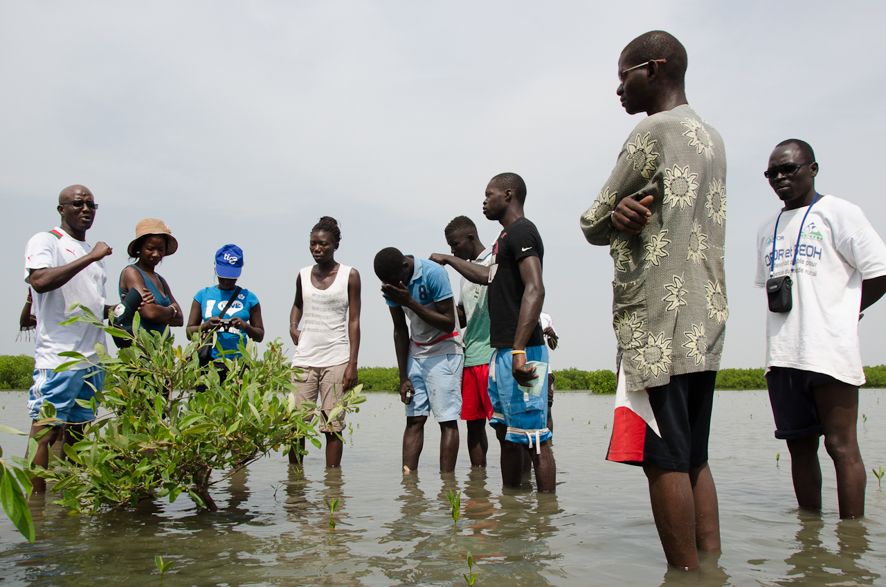
• Wetlands management
• Local development
Our skills:
• Strategic environmental analysis
• Shared territorial diagnostic and prospective
• Territorial communication
• Analysis and guidance on territory management issues
• Project design, implementation and monitoring; training
• Kite aerial photography and photography
Territorial communication
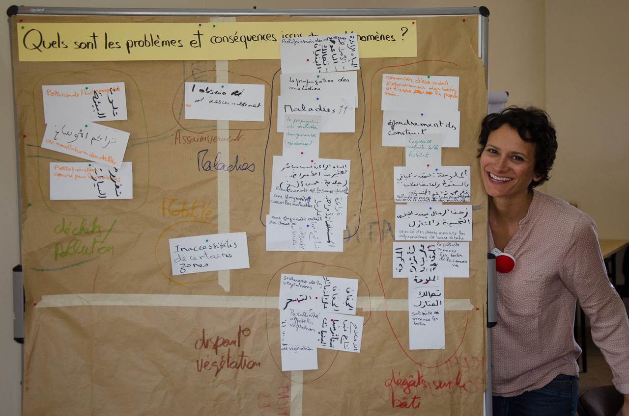
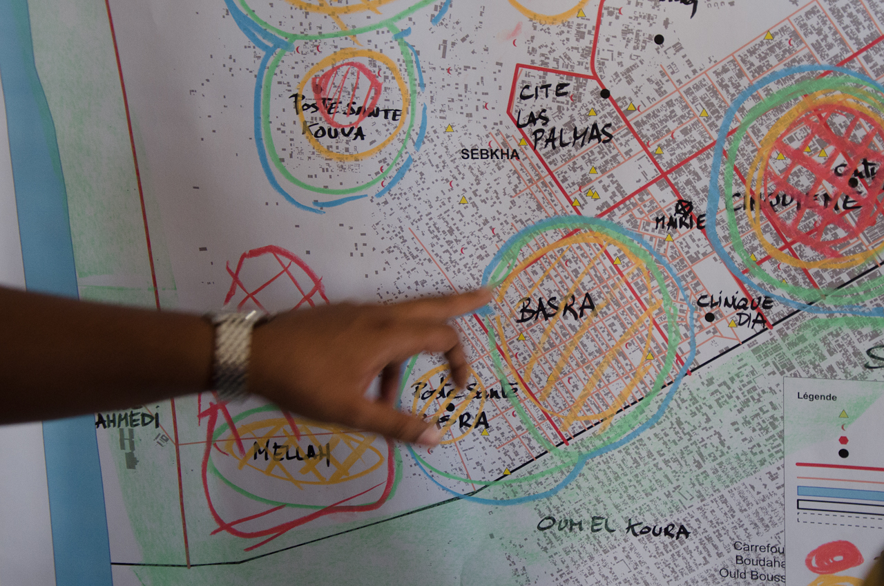
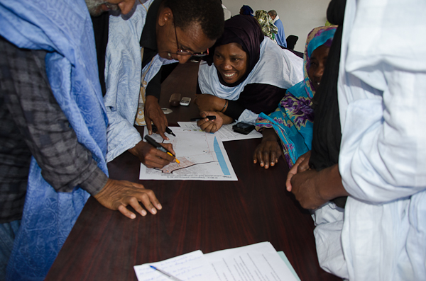
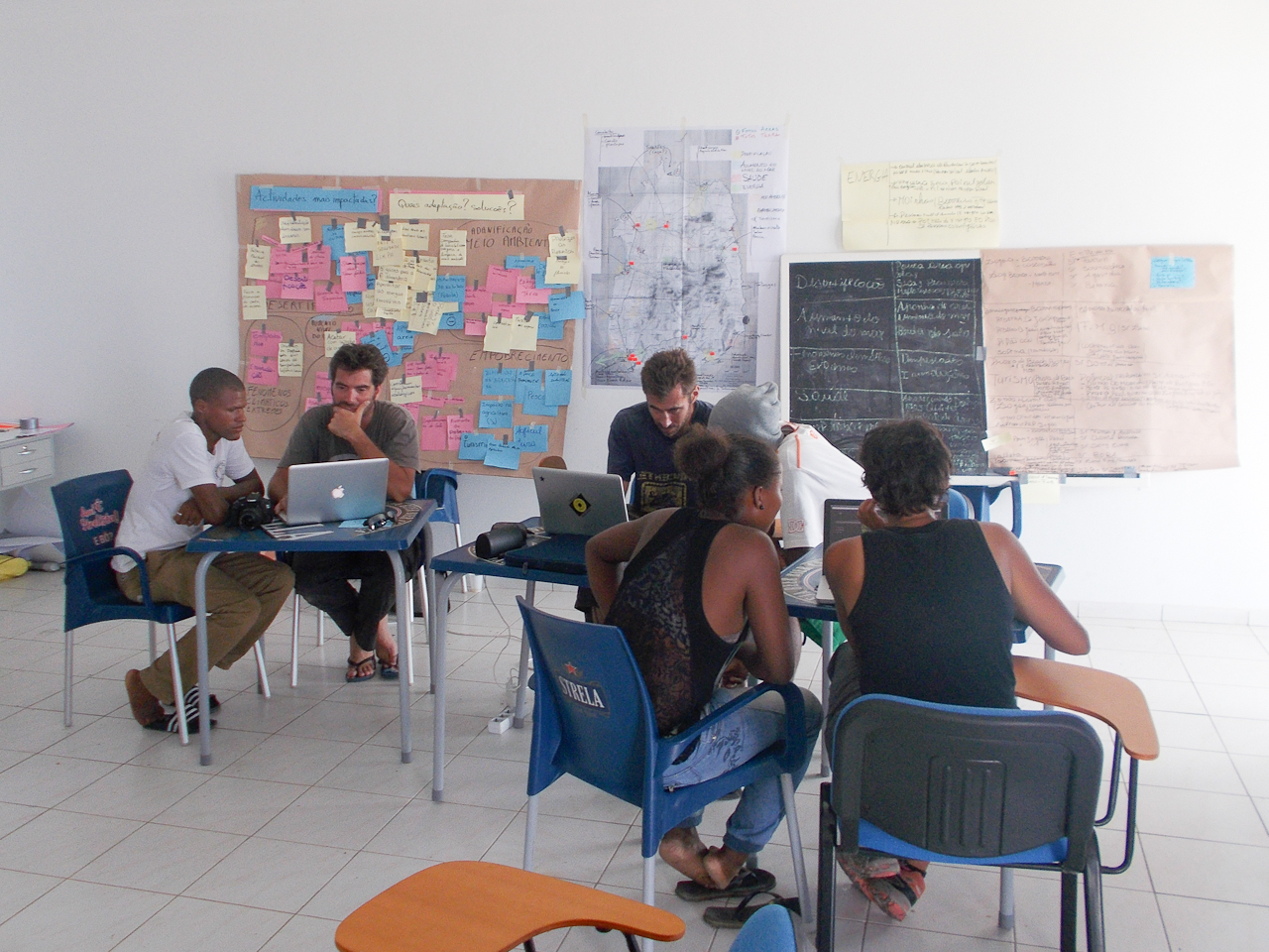
Shared territorial diagnostic and prospective
Participative analysis of the landscape evolution to better understand collectively the changes of the territory.
References: Le climat change, Nouakchott s’adapte ; Hier, aujourd’hui, demain, le Banc d’Arguin ; Réserve communautaire de Palmarin.
Entertainment and communication :
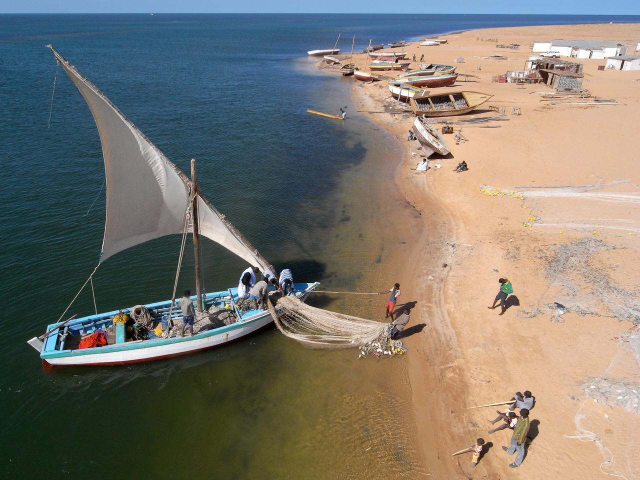
Territory seen threw images to communicate, valorise and awareness-raising…
References : Nature à Tevragh Zeina ; La pêche en voilier, une tradition d’avenir ; Eau vue d’en haut.

Monitoring and capitalisation :
Adapted interventions to report in an illustrated way the development of a project
Training :
The En Haut ! team provide training to manage field tools necessary for project planning, monitoring and reporting (GPS, Photography, Cartography)
Photography
On the ground and in the air…
Laboratory
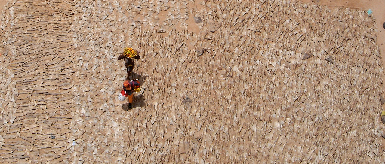
Focus on technical applications of kite aerial photography developed in the field of marine protected areas management: monitoring, counting species, cartography…
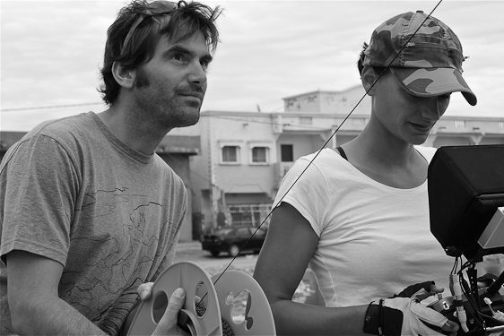
Kite aerial photography
The Kite aerial photography or KAP, exists since the late XIX century. It is usually used in archaeology and allows aerial views approximately till 400m.
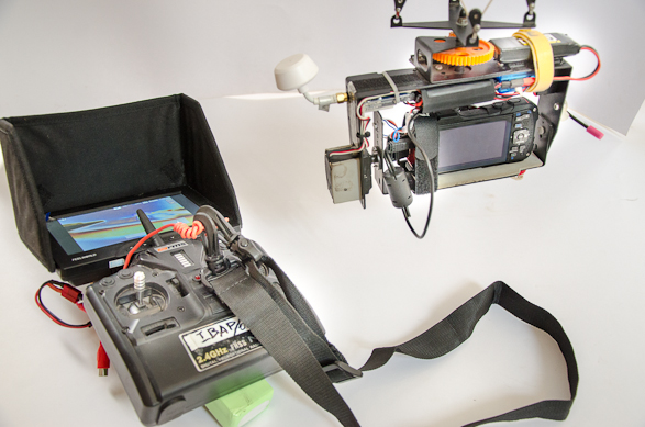
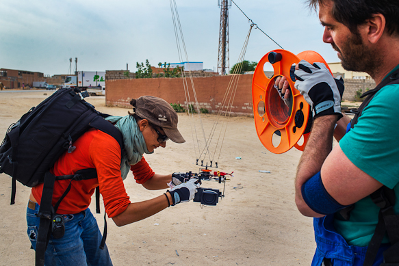
The concept is easy: a camera is supported by a rig, hang to the kite line.
The rig is articulated allowing vertical and horizontal rotations of the camera.
This technic uses remote control from the ground. The photographer squares the pictures thanks to a video monitor set on the remote control.
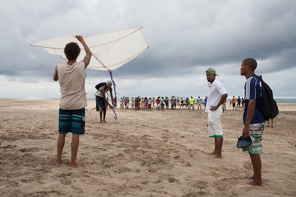
As it is simple and discrete, the photographers can work, moving to square the pictures, without any disturbance on the environment.
Appearance in the sky of a kite is always a happy event. It is an ecological technic respecting the environment.
Technic:
• Easy to implement
• Easy to bring on the field (backpack)
• Discrete (no problem to pass borders)
• Low energy consummation (lasting several days)
• Funny and friendly (less intrusive than drone)
• Low priced (depending mainly on the type of camera)
• Ecological (using the wind energy)
Being in the same time on the ground and in the air:
• Combine ground and aerial pictures, doing interviews in the same time
• Having the local stakeholder involved in the realisation of aerial pictures
• Take our time (The flight can last over 2 hours without changing batteries)
The limits: Rain, lack of wind and usual regulatory requirements about right of privacy.
Synergies:
Understanding and managing a territory requires working on different scales of analysis, and therefore using different types of aerial pictures (ortho-photography, slanting views, multi spectral…). There is no a unique tool able to respond to all these expectations. Complementarity of techniques is crucial: kite, drone, balloons, ULM, helicopters, plane, satellite…
Each one has specificities: elevation, steady flight, easy to use whenever you need it, cost…